Ouray and Silverton, Co
The Silverton/Ouray area is quite large and covers
many hundreds of square miles of mostly Jeep ATV and Dirt Bike 4x4 trails. Most are Easy to
ride but a few are quite steep and a little intimidating at first (at
least for this flatlander). I spent a week here and rode most of the
trails in the area, which I consider dual sport. However you can ride
off-road vehicles here if you off load at the trail head. The banner
picture of this web site was taken here on top of Imogene Pass. This area
is really gorgeous and I really enjoyed my time here, the folks are nice
and the town of Ouray where I stayed was quaint and beautiful. I enjoyed the hot
springs after a hard days ride. There were lots of folks on the trails
(mostly in rental Jeeps) which made it nice for a guy like me riding
mostly alone. Here are a few links for the area www.silvertoncolorado.com , www.ouraycolorado.com and a great site for Jeep trail info www.narrowgauge.org/4x4/html/4X4.html . If you are looking for a great
RV park in town I stayed here and enjoyed their Colorado hospitality www.coloradodirectory.com/4j11rvpark Very nice park and people!
Be sure and check out all my pictures. Zoom
in Google maps to view trails.
Free Trail Map Here |

|
|
Imogene Ophir Dual Sport Loop Wow, what a great dual sport ride.... South
out of Ouray on the million dollar highway. Just before (north of)
Ophir Pass it is the shelf road from hell, (not on a bike but in an
RV wow) but I was on the good side (up against the mountain). I
drove this road going the other way pulling my Airstream and
about had the big one. It just doesn't pay to put us Florida boys on
these kind of roads. Across Ophir Pass and up Hwy 145 into
Telluride. Then up Tom Boy Rd to the top. Finally made it, what a
great feeling.
View Larger Map
Garmin Track Log
Imogene Ophir Dual Sport Loop |
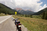
South on 550 out of Ouray
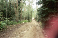
Ophir Pass
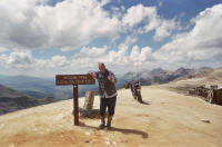
Finally Made it to the top |
| Alpine Scenic Loop
This is a scenic 4x4 Jeep
trail loop that is about 80 miles all total. 80% of it
is very easy, however the western entrance through Engineer Pass
is steep and rocky for the first few miles (Advanced) and
Corkscrew Pass is a bit steep leaving (Advanced) There is also
some very steep parts west of Animas forks up around and past
California Pass. I was coming up Engineer Pass in the morning and
I passed to German guys trying to come down on two big Harleys
(they were scared to death.... I don't blame them, I cant think of
a worse vehicle to try and navigate Engineer pass. I would rather
do it in Grandmas Oldsmobile)... Wow I guess those Germans have a
habit of biting off more than they can chew huh?
More great pics
and commentary here
www.narrowgauge.org/4x4/html/corkscrw.html
View Larger Map
Garmin Track Log
Alpine loop |
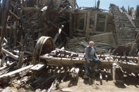
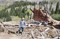
Mine Ruins on Engineer Pass
More Ruins
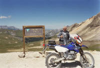
Top of the world
_small.jpg)
Old Tramway for Mining |
Alpine Scenic Loop II
This trail is very easy except for the entry on via Corkscrew
Pass You could drive the southern part in your family car. It is
still a very nice scenic ride though some of the most gorgeous
country anywhere. Just building this web site makes me sad to be
home... I am already planning my next trip.
View Larger Map
Garmin Trip Log
Alpine Loop 2 |
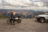
Imogene looking across at Corkscrew
_small.jpg)
Friends on the trail at Corkscrew
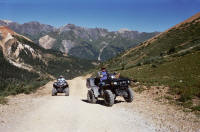
ATV Heaven |
Key:
Easy
Advanced
Expert
                                                             
|